Compare Pectinodonta aupouria
| toggle to add to compare list |
Taxonomy
Family: PECTINODONTIDAE Full Classification: Mollusca (Phylum) > Gastropoda (Class) > Patellogastropoda (Subclass) > Lottioidea (Superfamily) > Pectinodontidae (Family) > Pectinodonta (Genus) > aupouria (Species) Synonymised Names: =Maoricrater explorata Powell, 1979, in part, not Dell, 1953 |
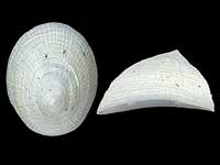
Images: Pectinodonta aupouria B.A. Marshall, 1985
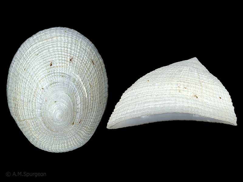
In wood crevices approx. 1100 metres, Bay of Plenty, NZ. 16mm
Found in crevices of waterlogged wood, in very deep water. 16.5mm
Taxonomy
Family: PECTINODONTIDAE Full Classification: Mollusca (Phylum) > Gastropoda (Class) > Patellogastropoda (Subclass) > Lottioidea (Superfamily) > Pectinodontidae (Family) > Pectinodonta (Genus) > aupouria (Species) Synonymised Names: =Maoricrater explorata Powell, 1979, in part, not Dell, 1953 |
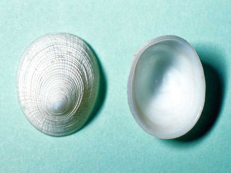
Details: Pectinodonta aupouria B.A. Marshall, 1985
Size/Grows to:
Length 20mm, Width 15mm
Distribution:
Off White Island and Aldermen Islands, North Island, and Chatham Islands. From 850-1200 metres on wood
Geographical Range:
ACM
Notes:
Species Links
Distribution Map
References and Publications
- Marshall, B.A. 1998 A new deep-sea limpet of the genus Pectinodonta Dall, 1882 from New Zealand, and new distribution records for P. aupouria and P. morioria Marshall, 1985, The Nautilus, 112(2) (p.56)
- Marshall, B.A. 1985 Recent and Tertiary deep-sea limpets of the genus Pectinodonta Dall (Mollusca: Gastropoda) from New Zealand and New South Wales, New Zealand Journal of Zoology, 12(2) (p.277) Original Description
*98 © Museum of New Zealand Te Papa Tongarewa (CC-BY-NC-ND)
Key to Geographical Ranges

The symbols K.A.C.F.M.An. are used to indicate the geographical range of the species.
They have been adopted to give an approximation of the range of each species within New Zealand.
K=
Kermadec Islands
A=
Aupourian - Kaipara Harbour, north around North Cape, encompassing the Three Kings Islands and south to East Cape
C=
Cookian - Lower North Island and the northern part of the South Island
F=
Forsterian - Otago, Fiordland and Stewart Island
M=
Moriorian - Chatham Islands, Pitt Island
An=
Antipodean - Subantarctic Islands of New Zealand
Fw =
Freshwater
L =
Land
N =
North Island
S =
South Island
R =
Recent
Sf =
Subfossil
Fo =
Fossil
Compare Species (
/6)