Compare Tectus royanus
| toggle to add to compare list |
Taxonomy
Family: Subfamily: TROCHIDAE: TROCHINAE Full Classification: Synonymised Names: =Trochus royanus Iredale, 1912 |
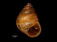
Images: Tectus royanus (Iredale, 1912)
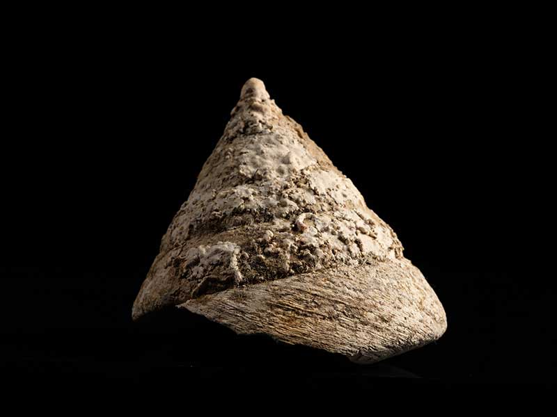
Raoul Island, Kermadec Islands, NZ (MA60949). © Auckland Museum (CC-BY)
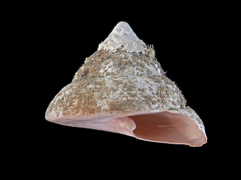
Kermadec Islands, NZ. 72mm
Taxonomy
Family: Subfamily: TROCHIDAE: TROCHINAE Full Classification: Synonymised Names: =Trochus royanus Iredale, 1912 |
Details: Tectus royanus (Iredale, 1912)
Size/Grows to:
Width 102mm, Height 101mm
Distribution:
Raoul Island, Kermadec Islands, on rocks from low water to 6-8 metres, dead specimens to 29 metres
Geographical Range:
K
Notes:
Species Links
Distribution Map
References and Publications
- Brook, F.J., Marshall, B.A. 1998 The coastal molluscan fauna of the northern Kermadec Islands, southwest Pacific Ocean, Journal of the Royal Society of New Zealand, 28 (p.215)
- Marshall, B.A. 1979 The Trochidae and Turbinidae of the Kermadec Ridge (Mollusca: Gastropoda), New Zealand Journal of Zoology, 6(4) (p.536)
*98 © Museum of New Zealand Te Papa Tongarewa (CC-BY-NC-ND)
Key to Geographical Ranges

The symbols K.A.C.F.M.An. are used to indicate the geographical range of the species.
They have been adopted to give an approximation of the range of each species within New Zealand.
K=
Kermadec Islands
A=
Aupourian - Kaipara Harbour, north around North Cape, encompassing the Three Kings Islands and south to East Cape
C=
Cookian - Lower North Island and the northern part of the South Island
F=
Forsterian - Otago, Fiordland and Stewart Island
M=
Moriorian - Chatham Islands, Pitt Island
An=
Antipodean - Subantarctic Islands of New Zealand
Fw =
Freshwater
L =
Land
N =
North Island
S =
South Island
R =
Recent
Sf =
Subfossil
Fo =
Fossil

Compare Species (
/6)