Compare Cominella maculosa
| toggle to add to compare list |
Taxonomy
Family: COMINELLIDAE Full Classification: Mollusca (Phylum) > Gastropoda (Class) > Caenogastropoda (Subclass) > Neogastropoda (Order) > Buccinoidea (Superfamily) > Cominellidae (Family) > Cominella (Genus) > maculosa (Species) Synonymised Names: =Buccinum maculosum Martyn, 1784 =Buccinum testudineum Bruguière, 1789 =Cominella (Cominella) maculosa (Martyn, 1784) accepted, alternate representation =Cominella testudinea (Bruguière, 1789) =Harpa antiqua G.B. Sowerby I, 1825 |
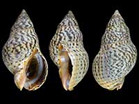
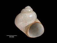
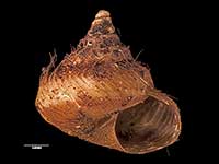
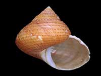
Images: Cominella maculosa (Martyn, 1784)
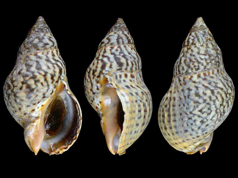
Shallow water, Tutukaka Harbour, Northland, NZ. 45mm
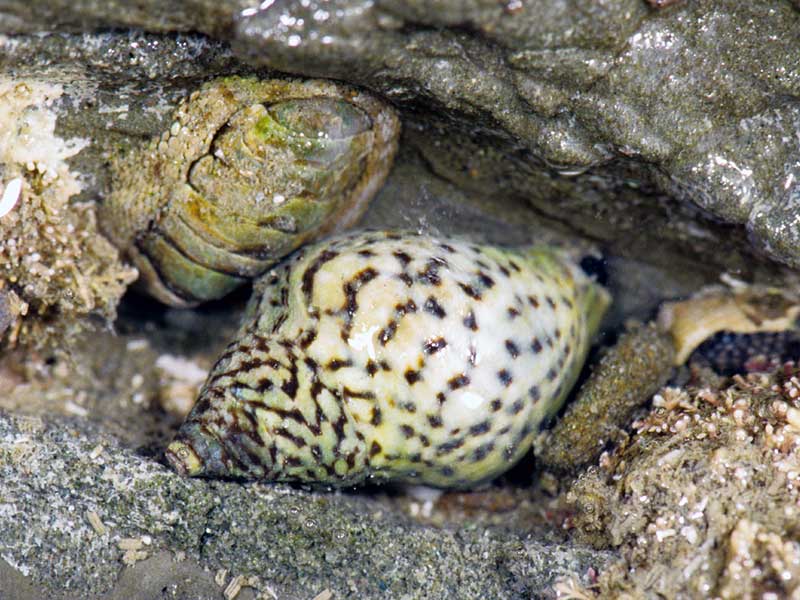
Intertidal, north Auckland, NZ
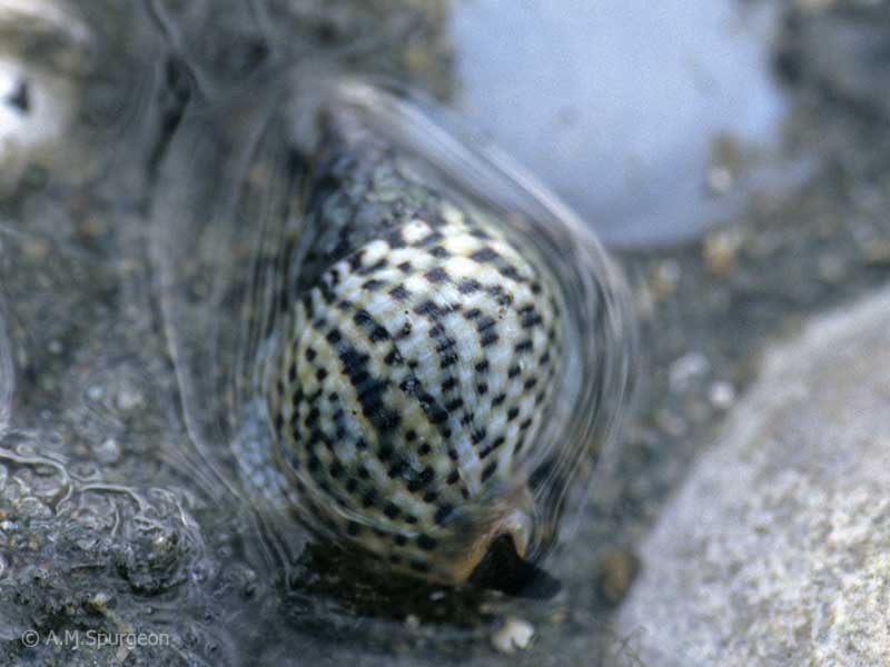
Intertidal, north Auckland, NZ
Taxonomy
Family: COMINELLIDAE Full Classification: Mollusca (Phylum) > Gastropoda (Class) > Caenogastropoda (Subclass) > Neogastropoda (Order) > Buccinoidea (Superfamily) > Cominellidae (Family) > Cominella (Genus) > maculosa (Species) Synonymised Names: =Buccinum maculosum Martyn, 1784 =Buccinum testudineum Bruguière, 1789 =Cominella (Cominella) maculosa (Martyn, 1784) accepted, alternate representation =Cominella testudinea (Bruguière, 1789) =Harpa antiqua G.B. Sowerby I, 1825 |
Details: Cominella maculosa (Martyn, 1784)
Size/Grows to:
Height 58mm, Width 28mm
Distribution:
North Island, northern part of South Island and Chatham Islands
Geographical Range:
ACM
Notes:
Species Links
Distribution Map
References and Publications
- Gemmell, M.R., Trewick, S.A., Crampton, J.S., Vaux, F., Hills, S.F.K., Daly, E.E., Marshall, B.A., Beu, A.G., Morgan-Richards, M. 2018 Genetic structure and shell shape variation within a rocky shore whelk suggest both diverging and constraining selection with gene flow, Biological Journal of the Linnean Society, 20 (p.1)
- Powell, A.W.B. 1979 New Zealand Mollusca: Marine, Land and Freshwater Shells, Collins, Auckland (p.192)
Key to Geographical Ranges

The symbols K.A.C.F.M.An. are used to indicate the geographical range of the species.
They have been adopted to give an approximation of the range of each species within New Zealand.
K=
Kermadec Islands
A=
Aupourian - Kaipara Harbour, north around North Cape, encompassing the Three Kings Islands and south to East Cape
C=
Cookian - Lower North Island and the northern part of the South Island
F=
Forsterian - Otago, Fiordland and Stewart Island
M=
Moriorian - Chatham Islands, Pitt Island
An=
Antipodean - Subantarctic Islands of New Zealand
Fw =
Freshwater
L =
Land
N =
North Island
S =
South Island
R =
Recent
Sf =
Subfossil
Fo =
Fossil
Compare Species (
/6)