Compare Irus reflexus
| toggle to add to compare list |
Taxonomy
Family: VENERIDAE Full Classification: Genus Synonyms: =Irus (Irus) Schmidt, 1818 accepted, alternate representation =Irus (Notirus) Finlay, 1928 accepted, alternate representation =Irus (Notopaphia) W.R.B. Oliver, 1923 accepted, alternate representation =Notirus Finlay, 1928 =Notopaphia W.R.B. Oliver, 1923 Synonymised Names: =Irus (Notirus) reflexus (Gray, 1843) accepted, alternate representation =Venerupis reflexa Gray, 1843 =Venerupis siliqua Deshayes, 1854 =Venerupis tumida G.B. Sowerby II, 1854 |
Images: Irus reflexus (Gray, 1843)
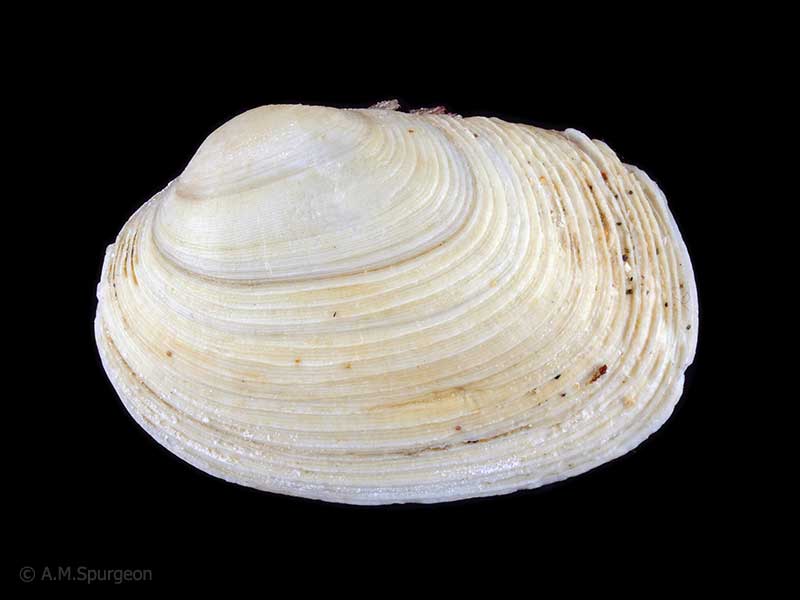
Found in holes in soft mud, Whangarei, Northland, NZ. 27mm
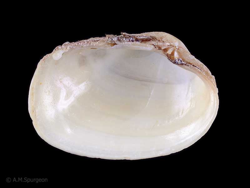
Found in holes in soft mud, Whangarei, Northland, NZ. 27mm
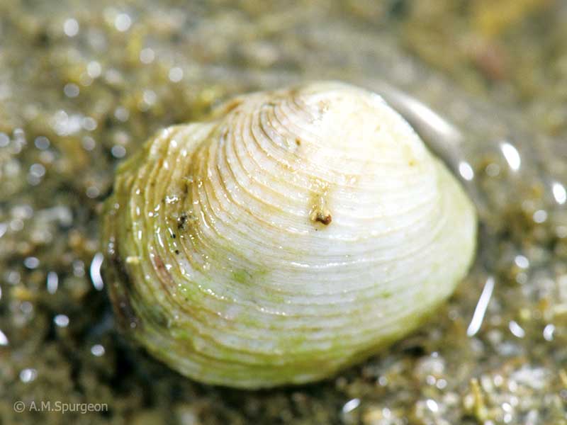
Lives in the old borings of Pholads
Taxonomy
Family: VENERIDAE Full Classification: Genus Synonyms: =Irus (Irus) Schmidt, 1818 accepted, alternate representation =Irus (Notirus) Finlay, 1928 accepted, alternate representation =Irus (Notopaphia) W.R.B. Oliver, 1923 accepted, alternate representation =Notirus Finlay, 1928 =Notopaphia W.R.B. Oliver, 1923 Synonymised Names: =Irus (Notirus) reflexus (Gray, 1843) accepted, alternate representation =Venerupis reflexa Gray, 1843 =Venerupis siliqua Deshayes, 1854 =Venerupis tumida G.B. Sowerby II, 1854 |
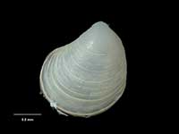
Details: Irus reflexus (Gray, 1843)
Size/Grows to:
Length 31mm, Height 24mm
Distribution:
North, South, Stewart and Chatham Islands, and Mernoo Bank. Intertidal, in holes in soft rock
Geographical Range:
ACFM
Notes:
Species Links
Distribution Map
References and Publications
- Stevenson, A.G. Nov/2004 Collecting Rock Borers in New Zealand, Cookia, 16 (p.27)
- Powell, A.W.B. 1979 New Zealand Mollusca: Marine, Land and Freshwater Shells, Collins, Auckland (p.425)
Key to Geographical Ranges

The symbols K.A.C.F.M.An. are used to indicate the geographical range of the species.
They have been adopted to give an approximation of the range of each species within New Zealand.
K=
Kermadec Islands
A=
Aupourian - Kaipara Harbour, north around North Cape, encompassing the Three Kings Islands and south to East Cape
C=
Cookian - Lower North Island and the northern part of the South Island
F=
Forsterian - Otago, Fiordland and Stewart Island
M=
Moriorian - Chatham Islands, Pitt Island
An=
Antipodean - Subantarctic Islands of New Zealand
Fw =
Freshwater
L =
Land
N =
North Island
S =
South Island
R =
Recent
Sf =
Subfossil
Fo =
Fossil
Recently Viewed

Compare Species (
/6)