Compare Dicathais orbita
| toggle to add to compare list |
Taxonomy
Family: Subfamily: MURICIDAE: RAPANINAE Full Classification: Synonymised Names: =Buccinum orbita Gmelin, 1791 =Dicathais aegrota (Reeve, 1846) =Dicathais scalaris (Menke, 1829) =Dicathais textilosa (Lamarck, 1816) =Dicathais vector Thornley, 1952 =Haustrum ventricosum Kaicher, 1980 =Neothais scalaris (Menke, 1829) =Polytropa succincta (Lamarck, 1816) =Purpura aegrota Reeve, 1846 =Purpura scalaris Menke, 1829 =Purpura succincta Lamarck, 1816 =Purpura textilosa Lamarck, 1816 =Thais orbita (Gmelin, 1791) =Thais textilosa (Lamarck, 1816) |
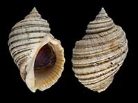
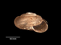
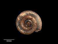
Images: Dicathais orbita (Gmelin, 1791)
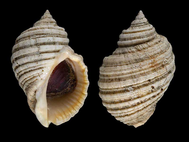
Off Raglan, NZ. 78mm
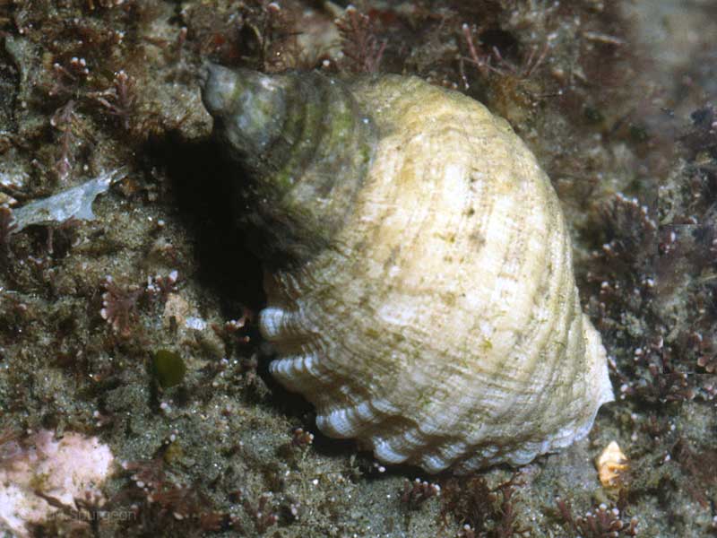
Intertidal, Northland, NZ
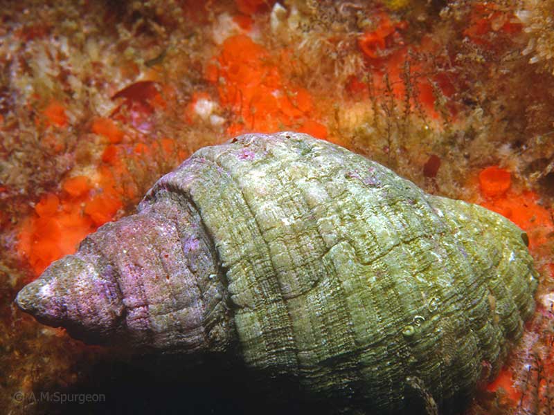
From 15 metres, off Northland east coast
Taxonomy
Family: Subfamily: MURICIDAE: RAPANINAE Full Classification: Synonymised Names: =Buccinum orbita Gmelin, 1791 =Dicathais aegrota (Reeve, 1846) =Dicathais scalaris (Menke, 1829) =Dicathais textilosa (Lamarck, 1816) =Dicathais vector Thornley, 1952 =Haustrum ventricosum Kaicher, 1980 =Neothais scalaris (Menke, 1829) =Polytropa succincta (Lamarck, 1816) =Purpura aegrota Reeve, 1846 =Purpura scalaris Menke, 1829 =Purpura succincta Lamarck, 1816 =Purpura textilosa Lamarck, 1816 =Thais orbita (Gmelin, 1791) =Thais textilosa (Lamarck, 1816) |
Details: Dicathais orbita (Gmelin, 1791)
Size/Grows to:
Height 120mm, Width 75mm
Distribution:
Northland to northern South Island and Chatham Islands. Also Australia and Lord Howe Island
Geographical Range:
KACM
Notes:
Species Links
Distribution Map
References and Publications
- Brook, F.J., Marshall, B.A. 1998 The coastal molluscan fauna of the northern Kermadec Islands, southwest Pacific Ocean, Journal of the Royal Society of New Zealand, 28 (p.224)
- Henderson, G. Nov/1980 Items of Interest. Thais orbita (Gmelin)., Poirieria, 10(6) (p.102)
- May/1980 Thais orbita (Gmelin, 1791), Poirieria, 10(5) (p.80)
- Powell, A.W.B. 1979 New Zealand Mollusca: Marine, Land and Freshwater Shells, Collins, Auckland (p.179)
*98 © Museum of New Zealand Te Papa Tongarewa (CC-BY-NC-ND)
Key to Geographical Ranges

The symbols K.A.C.F.M.An. are used to indicate the geographical range of the species.
They have been adopted to give an approximation of the range of each species within New Zealand.
K=
Kermadec Islands
A=
Aupourian - Kaipara Harbour, north around North Cape, encompassing the Three Kings Islands and south to East Cape
C=
Cookian - Lower North Island and the northern part of the South Island
F=
Forsterian - Otago, Fiordland and Stewart Island
M=
Moriorian - Chatham Islands, Pitt Island
An=
Antipodean - Subantarctic Islands of New Zealand
Fw =
Freshwater
L =
Land
N =
North Island
S =
South Island
R =
Recent
Sf =
Subfossil
Fo =
Fossil
Compare Species (
/6)