Compare Semicassis sophia
| toggle to add to compare list |
Taxonomy
Family: Subfamily: CASSIDAE: PHALIINAE Full Classification: Mollusca (Phylum) > Gastropoda (Class) > Caenogastropoda (Subclass) > Littorinimorpha (Order) > Tonnoidea (Superfamily) > Cassidae (Family) > Phaliinae (Subfamily) > Semicassis (Genus) > sophia (Species) |
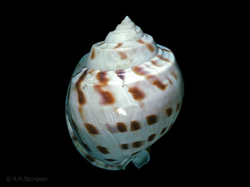
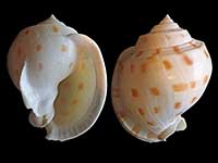
Images: Semicassis sophia (Brazier, 1872)
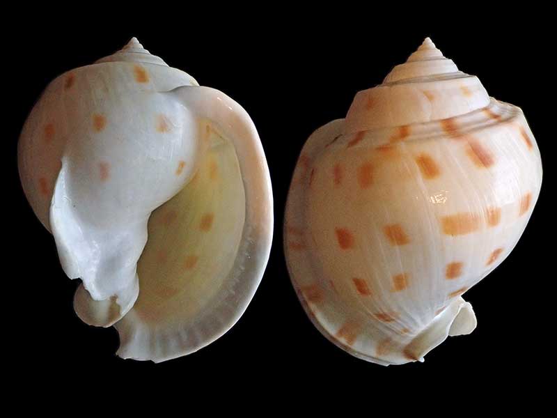
Rarawa Beach, Far North, NZ
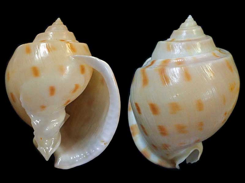
Dredged in 1994, off Rangaunu Bay, Northland, NZ. 87mm
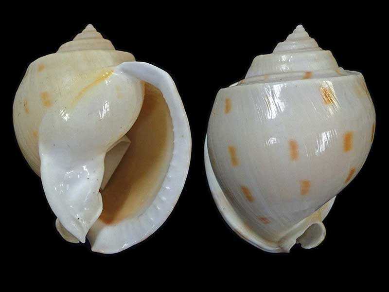
Collected off Spirits Bay, Far North, NZ. 71mm
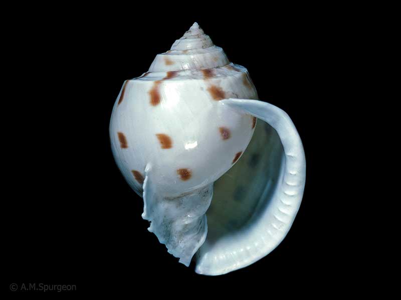
In craypot, off Northland east coast, NZ
In craypot, off Northland east coast, NZ
Taxonomy
Family: Subfamily: CASSIDAE: PHALIINAE Full Classification: Mollusca (Phylum) > Gastropoda (Class) > Caenogastropoda (Subclass) > Littorinimorpha (Order) > Tonnoidea (Superfamily) > Cassidae (Family) > Phaliinae (Subfamily) > Semicassis (Genus) > sophia (Species) |
Details: Semicassis sophia (Brazier, 1872)
Size/Grows to:
Height 98mm, Width 60mm
Distribution:
Northern. Off Northland east coast. Also Queensland to New South Wales and Kermadec Islands
Geographical Range:
KA
Notes:
Species Links
Distribution Map
References and Publications
- Powell, A.W.B. 1976 On the considerable influx of warm water molluscs that have invaded northern New Zealand waters within recent years, Records of the Auckland Institute and Museum, 13 (p.148)
Key to Geographical Ranges

The symbols K.A.C.F.M.An. are used to indicate the geographical range of the species.
They have been adopted to give an approximation of the range of each species within New Zealand.
K=
Kermadec Islands
A=
Aupourian - Kaipara Harbour, north around North Cape, encompassing the Three Kings Islands and south to East Cape
C=
Cookian - Lower North Island and the northern part of the South Island
F=
Forsterian - Otago, Fiordland and Stewart Island
M=
Moriorian - Chatham Islands, Pitt Island
An=
Antipodean - Subantarctic Islands of New Zealand
Fw =
Freshwater
L =
Land
N =
North Island
S =
South Island
R =
Recent
Sf =
Subfossil
Fo =
Fossil
Recently Viewed
Compare Species (
/6)