Compare Janthina exigua
| toggle to add to compare list |
Taxonomy
Family: EPITONIIDAE Full Classification: Mollusca (Phylum) > Gastropoda (Class) > Caenogastropoda (Subclass) > [unassigned] Caenogastropoda (Order) > Epitonioidea (Superfamily) > Epitoniidae (Family) > Janthina (Genus) > exigua (Species) Synonymised Names: =Ianthina bifida Reeve, 1858 =Ianthina vinsoni Deshayes, 1863 =Janthina capreolata Montrouzier, 1860 =Janthina courcellei Rochebrune & Mabille, 1889 =Janthina incisa Philippi, 1848 =Janthina nana Gray, 1850 =Janthina striata Montrouzier, 1860 |
Images: Janthina exigua (Lamarck, 1822)

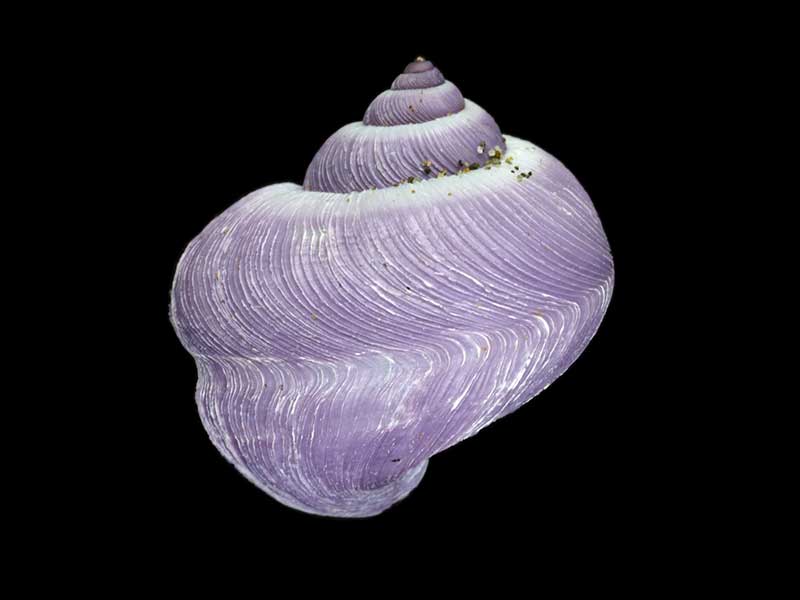
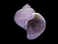
Washed up after storm, Mahurangi, Auckland, NZ. 16mm
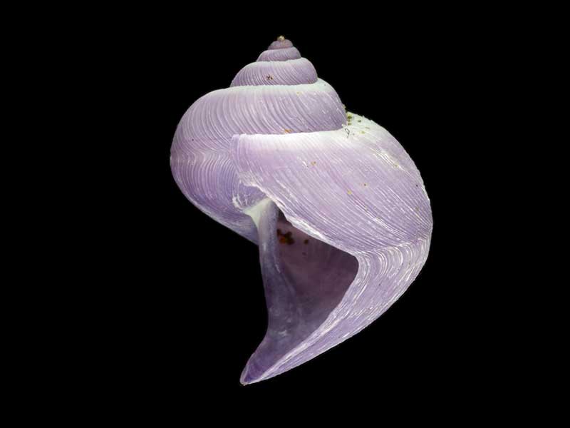
Washed up after storm, Mahurangi, Auckland, NZ. 16mm
Washed up after storm, Mahurangi, Auckland, NZ. 16mm
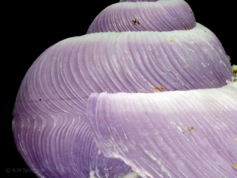
Washed up after storm, Mahurangi, Auckland, NZ. Close-up showing sculpture. 16mm
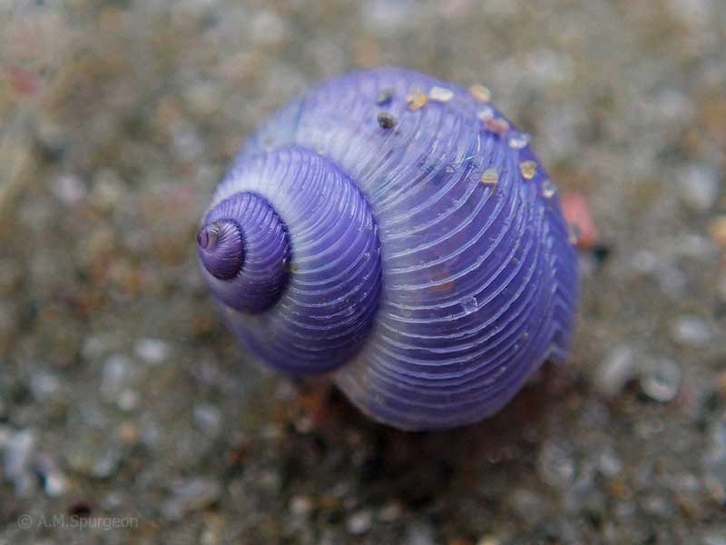
Tapotupotu Bay, Far North, NZ. 16mm
Taxonomy
Family: EPITONIIDAE Full Classification: Mollusca (Phylum) > Gastropoda (Class) > Caenogastropoda (Subclass) > [unassigned] Caenogastropoda (Order) > Epitonioidea (Superfamily) > Epitoniidae (Family) > Janthina (Genus) > exigua (Species) Synonymised Names: =Ianthina bifida Reeve, 1858 =Ianthina vinsoni Deshayes, 1863 =Janthina capreolata Montrouzier, 1860 =Janthina courcellei Rochebrune & Mabille, 1889 =Janthina incisa Philippi, 1848 =Janthina nana Gray, 1850 =Janthina striata Montrouzier, 1860 |
Details: Janthina exigua (Lamarck, 1822)
Size/Grows to:
Height 23mm, Width 21mm
Distribution:
Commonly washed ashore on ocean beaches
Geographical Range:
ACFM
Notes:
Species Links
Distribution Map
References and Publications
- Beu, A.G. 2017 Evolution of Janthina and Recluzia (Mollusca: Gastropoda: Epitoniidae), Records of the Australian Museum, 63(3) (p.191)
- Powell, A.W.B. 1979 New Zealand Mollusca: Marine, Land and Freshwater Shells, Collins, Auckland (p.254)
*98 © Museum of New Zealand Te Papa Tongarewa (CC-BY-NC-ND)
Key to Geographical Ranges

The symbols K.A.C.F.M.An. are used to indicate the geographical range of the species.
They have been adopted to give an approximation of the range of each species within New Zealand.
K=
Kermadec Islands
A=
Aupourian - Kaipara Harbour, north around North Cape, encompassing the Three Kings Islands and south to East Cape
C=
Cookian - Lower North Island and the northern part of the South Island
F=
Forsterian - Otago, Fiordland and Stewart Island
M=
Moriorian - Chatham Islands, Pitt Island
An=
Antipodean - Subantarctic Islands of New Zealand
Fw =
Freshwater
L =
Land
N =
North Island
S =
South Island
R =
Recent
Sf =
Subfossil
Fo =
Fossil
Recently Viewed
Compare Species (
/6)