Compare Bathytoma parengonia
| toggle to add to compare list |
Taxonomy
Family: BORSONIIDAE Full Classification: Mollusca (Phylum) > Gastropoda (Class) > Caenogastropoda (Subclass) > Neogastropoda (Order) > Conoidea (Superfamily) > Borsoniidae (Family) > Bathytoma (Genus) > parengonia (Species) Genus Synonyms: =Dolichotoma Bellardi, 1875 =Micantapex Iredale, 1936 =Parabathytoma Shuto, 1961 =Pleurotoma (Bathytoma) G. F. Harris & Burrows, 1891 =Riuguhdrillia Oyama, 1951 Synonymised Names: =Bathytoma (Riuguhdrillia) parengonia (Dell, 1956) accepted, alternate representation =Micantapex parengonius Dell, 1956 |
Images: Bathytoma parengonia (Dell, 1956)
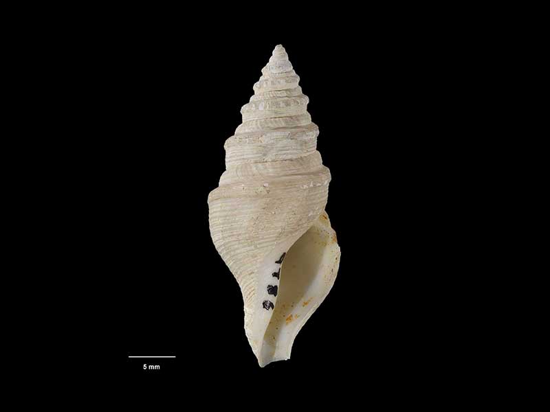
Holotype of Micantapex parengonius, collected 10 Feb 1954, Chatham Rise, NZ (M.009786). 37mm. © Museum of New Zealand Te Papa Tongarewa (CC-BY-NC-ND)
Taxonomy
Family: BORSONIIDAE Full Classification: Mollusca (Phylum) > Gastropoda (Class) > Caenogastropoda (Subclass) > Neogastropoda (Order) > Conoidea (Superfamily) > Borsoniidae (Family) > Bathytoma (Genus) > parengonia (Species) Genus Synonyms: =Dolichotoma Bellardi, 1875 =Micantapex Iredale, 1936 =Parabathytoma Shuto, 1961 =Pleurotoma (Bathytoma) G. F. Harris & Burrows, 1891 =Riuguhdrillia Oyama, 1951 Synonymised Names: =Bathytoma (Riuguhdrillia) parengonia (Dell, 1956) accepted, alternate representation =Micantapex parengonius Dell, 1956 |
Details: Bathytoma parengonia (Dell, 1956)
Size/Grows to:
Height 49mm, Width 20mm
Distribution:
Off North Island and Chatham Rise. Trawled from around 400-1300 metres
Notes:
Species Links
Distribution Map
References and Publications
- Powell, A.W.B. 1979 New Zealand Mollusca: Marine, Land and Freshwater Shells, Collins, Auckland (p.235)
- Dell, R.K. 1956 The archibenthal Mollusca of New Zealand, Dominion Museum Bulletin, 18 (p.129) Original Description
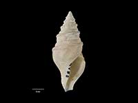
*98 © Museum of New Zealand Te Papa Tongarewa (CC-BY-NC-ND)
NZ Geographical Regions

Key to symbols used in Checklist.
Fw =
Freshwater
L =
Land
N =
North Island
S =
South Island
R =
Recent
Sf =
Subfossil
Fo =
Fossil
Recently Viewed
Compare Species (
/6)