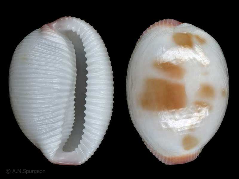
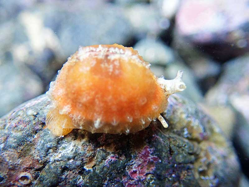
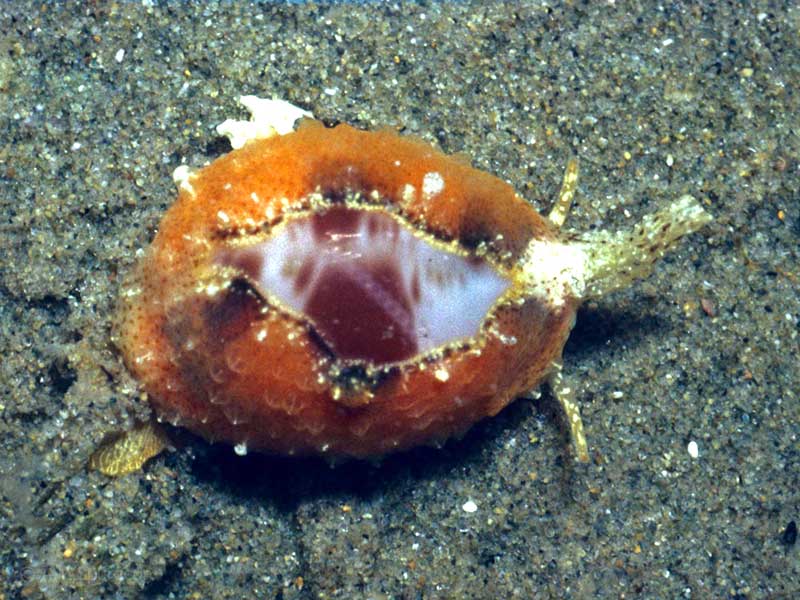
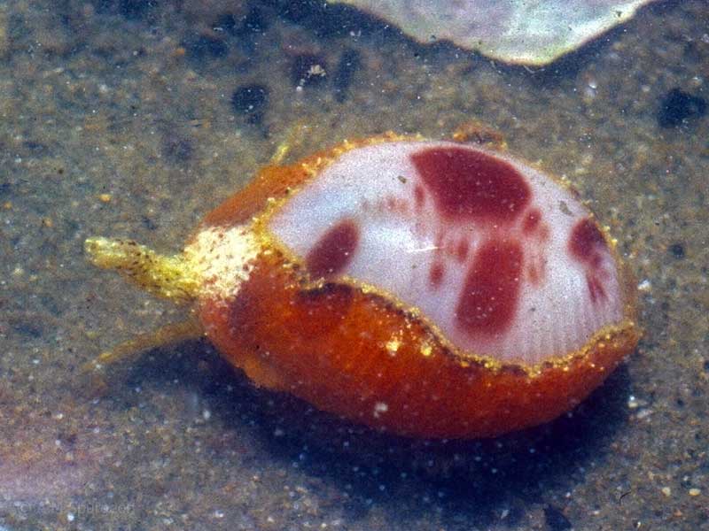
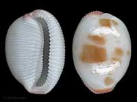
Compare Ellatrivia merces
| toggle to add to compare list |
Taxonomy
Family: TRIVIIDAE Full Classification: Mollusca (Phylum) > Gastropoda (Class) > Caenogastropoda (Subclass) > Littorinimorpha (Order) > Cypraeoidea (Superfamily) > Triviidae (Family) > Ellatrivia (Genus) > merces (Species) Genus Synonyms: =Austrotrivia Fehse, 2002 =Fossatrivia Schilder, 1939 =Trivia J.E. Gray, 1837 =Niveria Jousseaume, 1884 Synonymised Names: =Cypraea australis Lamarck, 1822 =Ellatrivia memorata (Finlay, 1926) =Ellatrivia merces addenda Iredale, 1931 =Trivia merces (Iredale, 1924) =Triviella maoriensis Mestayer, 1927 =Triviella memorata Finlay, 1926 =Triviella merces Iredale, 1924 |
Images: Ellatrivia merces (Iredale, 1924)
Taxonomy
Family: TRIVIIDAE Full Classification: Mollusca (Phylum) > Gastropoda (Class) > Caenogastropoda (Subclass) > Littorinimorpha (Order) > Cypraeoidea (Superfamily) > Triviidae (Family) > Ellatrivia (Genus) > merces (Species) Genus Synonyms: =Austrotrivia Fehse, 2002 =Fossatrivia Schilder, 1939 =Trivia J.E. Gray, 1837 =Niveria Jousseaume, 1884 Synonymised Names: =Cypraea australis Lamarck, 1822 =Ellatrivia memorata (Finlay, 1926) =Ellatrivia merces addenda Iredale, 1931 =Trivia merces (Iredale, 1924) =Triviella maoriensis Mestayer, 1927 =Triviella memorata Finlay, 1926 =Triviella merces Iredale, 1924 |
Details: Ellatrivia merces (Iredale, 1924)
Size/Grows to:
Length 16mm, Width 11mm
Distribution:
North Island, far northern South Island (Arapawa Island), Chatham Islands and Mernoo Bank
Notes:
Species Links
Distribution Map
References and Publications
- Powell, A.W.B. 1979 New Zealand Mollusca: Marine, Land and Freshwater Shells, Collins, Auckland (p.152)
- Cernohorsky, W.O. 1971 Fossil and recent Cypraeacea (Mollusca: Gastropoda) of New Zealand with descriptions of new species, Records of the Auckland Institute and Museum, 8 (p.113)
- Finlay, H. 1926 A Further Commentary on New Zealand Molluscan Systematics, Transactions and Proceedings of the Royal Society of New Zealand, 57 (p.396)
NZ Geographical Regions
Recently Viewed
