Compare Rakiurapyrgus micula
| toggle to add to compare list |
Taxonomy
Family: TATEIDAE Full Classification: Mollusca (Phylum) > Gastropoda (Class) > Caenogastropoda (Subclass) > Littorinimorpha (Order) > Truncatelloidea (Superfamily) > Tateidae (Family) > Rakiurapyrgus (Genus) > micula (Species) |
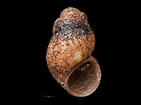
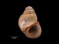
Images: Rakiurapyrgus micula Haase, 2008
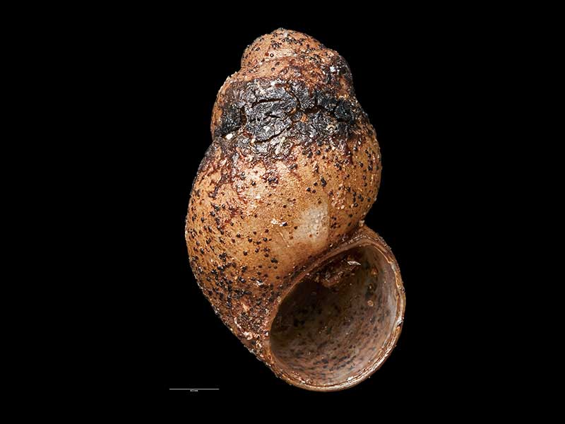
Holotype, collected North Arm, Stewart Island, NZ. © Auckland Museum (CC-BY)
Taxonomy
Family: TATEIDAE Full Classification: Mollusca (Phylum) > Gastropoda (Class) > Caenogastropoda (Subclass) > Littorinimorpha (Order) > Truncatelloidea (Superfamily) > Tateidae (Family) > Rakiurapyrgus (Genus) > micula (Species) |
Details: Rakiurapyrgus micula Haase, 2008
Distribution:
Stewart Island
Notes:
Species Links
Distribution Map
References and Publications
- Haase, M. 2008 The radiation of hydrobiid gastropods in New Zealand: a revision including the description of new species based on morphology and mtDNA sequence information, Systematics and Biodiversity, 6(1) (p.153) Original Description
NZ Geographical Regions

Key to symbols used in Checklist.
Fw =
Freshwater
L =
Land
N =
North Island
S =
South Island
R =
Recent
Sf =
Subfossil
Fo =
Fossil
Recently Viewed
Compare Species (
/6)