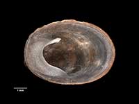
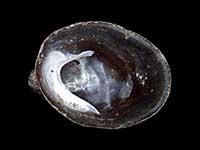
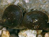
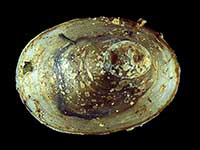
Identify commonly encountered species by shape and form.
You have narrowed your selection down to the species below.
Click on the image to see a larger view, or click on the name to see details about the species.
Use the text links below to go back or start again.
 Filter region:
(greyed out images not recorded from filtered region)
 Click to filter list on Geographical Range
Key to Geographical Ranges
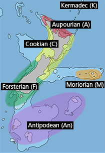
The symbols K.A.C.F.M.An. are used to indicate the geographical range of the species.
They have been adopted to give an approximation of the range of each species within New Zealand.
K=
Kermadec Islands
A=
Aupourian - Kaipara Harbour, north around North Cape, encompassing the Three Kings Islands and south to East Cape
C=
Cookian - Lower North Island and the northern part of the South Island
F=
Forsterian - Otago, Fiordland and Stewart Island
M=
Moriorian - Chatham Islands, Pitt Island
An=
Antipodean - Subantarctic Islands of New Zealand
Fw =
Freshwater
L =
Land
N =
North Island
S =
South Island
R =
Recent
Sf =
Subfossil
Fo =
Fossil
