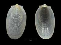
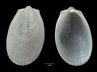
Mollusca (Phylum) > Bivalvia (Class) > Pteriomorphia (Subclass) > Limida (Order) > Limoidea (Superfamily) > Limidae (Family) > Limatula (Genus)
 Filter region:
(greyed out images not recorded from filtered region)
 Click here to filter list on Geographical Range
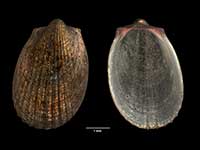
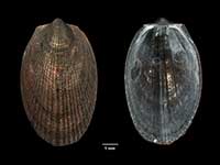
- Limatula aupouria Powell, 1937
Width 1.6mm, Height 2.4mm
Marine, Endemic
Off Three Kings Islands, trawled 260 metres
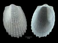
AE. - Limatula delli C.A. Fleming, 1978
Height 11mm
Marine, Endemic
Off Three Kings Islands, trawled 800 metres
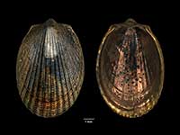
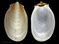
AE. - Limatula maoria Finlay, 1926
Height 40mm, Width 20mm
File Shell, Marine, Endemic, Sculptured with low crisp radial ribs, well developed over the central area but obsolete at the sides, crossed by dense concentric growth lines
North, South, Stewart and Chatham Islands. Shallow water to over 500 metres
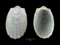
ACFME. - Limatula powelli C.A. Fleming, 1978
Height 15mm
Marine
Off Three Kings Islands 622 metres. Off Antipodes and Bounty Islands. Also New South Wales and South Australia
KAAn - Limatula raoulica C.A. Fleming, 1978
Height 5mm, Width 3mm
Marine, Endemic
NW of Fleetwood Bluff, Raoul Island, Kermadec Islands
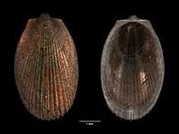
KE. - Limatula suteri (Dall, 1908)
Height 11mm, Width 6mm
Marine, Endemic, Smaller and narrower than maoria. Radial ribs fewer, and grouped posterior to the median ridge
North, South and Stewart Islands. Chatham Rise and off Snares Islands
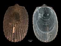
ACFMAnE. - Limatula vigilis C.A. Fleming, 1978
Height 7.5mm, Width 4.5mm
Marine, Endemic
Off Three Kings Islands, North, South, Stewart, Snares and Auckland Islands
ACFAnE.
Key to Geographical Ranges
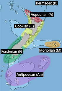
The symbols K.A.C.F.M.An. are used to indicate the geographical range of the species.
They have been adopted to give an approximation of the range of each species within New Zealand.
K=
Kermadec Islands
A=
Aupourian - Kaipara Harbour, north around North Cape, encompassing the Three Kings Islands and south to East Cape
C=
Cookian - Lower North Island and the northern part of the South Island
F=
Forsterian - Otago, Fiordland and Stewart Island
M=
Moriorian - Chatham Islands, Pitt Island
An=
Antipodean - Subantarctic Islands of New Zealand
Fw =
Freshwater
L =
Land
N =
North Island
S =
South Island
E =
Endemic
I =
Introduced
R =
Recent
Sf =
Subfossil
Fo =
Fossil
